
Fort Lauderdale ZIP Coverage Guide
Fourteen ZIPs appear in the working city and postal-area inventory. The areas below are practical orientation, not an official neighborhood assignment. USPS delivery zones cross neighborhood and city lines, and the sources did not provide a stable station-by-station table. Verify a live address with USPS and the city GIS layers. The notes are especially important for eastern zones shared with nearby municipalities and western addresses that use Fort Lauderdale as a postal place.
| ZIP Code | Areas Covered | Post Office | Notes |
|---|---|---|---|
| 33301 | Downtown, Las Olas, Colee Hammock, south Victoria Park | Verify with USPS | Central zone; crosses neighborhood lines |
| 33304 | Central Beach, Victoria Park and Lake Ridge portions | Verify with USPS | Beach and mainland delivery areas |
| 33305 | Middle River, Poinsettia, Coral Ridge portions | Verify with USPS | Touches Wilton Manors postal geography |
| 33306 | Coral Ridge, Bayview and Coral Shores area | Verify with USPS | Small east-side zone |
| 33308 | Galt Ocean Mile and northeast coast | Verify with USPS | Crosses Lauderdale-by-the-Sea and city lines |
| 33309 | Executive Airport, Twin Lakes and northwest areas | Verify with USPS | Includes land outside the city |
| 33311 | Sistrunk, Dorsey-Riverbend, Lauderdale Manors | Verify with USPS | Extends west of municipal boundary |
| 33312 | Sailboat Bend, Riverside, Riverland, southwest corridors | Verify with USPS | Extends into other jurisdictions |
| 33315 | Croissant Park, Edgewood, airport-adjacent area | Verify with USPS | South-central city |
| 33316 | Rio Vista, Harbor Beach, Port Everglades | Verify with USPS | Port and coastal complexity |
| 33317 | Western postal Fort Lauderdale and Plantation area | Verify with USPS | Much lies outside Fort Lauderdale |
| 33319 | Lauderdale Lakes and Tamarac vicinity | Verify with USPS | Largely outside city |
| 33334 | Oakland Park and northeast fringe | Verify with USPS | Crosses Oakland Park boundary |
| 33394 | Organizational Fort Lauderdale mail | Verify addressee | Unique ZIP, not a neighborhood |
No authoritative recent ZIP split or realignment year was found in the reviewed sources. That gap is a reason to verify, not to guess. Neighborhood names are also informal and can overlap. A parcel address and municipal-boundary result are stronger evidence of city jurisdiction than a mailing city alone.
Map Fort Lauderdale ZIP Polygons
The City USPS ZIP GIS layer publishes countywide polygon geometry with a ZIPCODE field. Its service supports queries, pagination, and statistics. Pair that layer with the municipal boundary rather than viewing a postal zone in isolation. The overlap answers whether a parcel falls within the city and therefore whether Fort Lauderdale permit or code records are the right next stop.
Water makes the map essential. The New River, canals, barrier islands, Port Everglades, and Executive Airport split otherwise close addresses into different service and government areas. East-coast zones overlap Lauderdale-by-the-Sea, Oakland Park, and Wilton Manors. Western Fort Lauderdale mail can belong to Plantation, Lauderdale Lakes, Tamarac, or another jurisdiction.
Note: A postal polygon locates a delivery zone; it does not list the households or prove that each point is a home.
Read Central Fort Lauderdale ZIPs
The central ZIP code directory entries show why a zone cannot stand in for a neighborhood. Downtown, Las Olas, and Colee Hammock share 33301 with part of Victoria Park, while 33304 reaches Central Beach and mainland areas. The 33316 zone combines Rio Vista and Harbor Beach with port land and the busy 17th Street corridor. A ZIP-wide resident search can mix condos, detached parcels, commercial sites, marinas, and institutional addresses.
Use BCPA's standardized situs address for a particular parcel. A situs address is the physical tax location. The tax mailing address is where notices go, and the legal description identifies the land. Seasonal ownership and condominium entities are common in Fort Lauderdale, so none of those fields alone names every occupant.
Fort Lauderdale Postal Boundary Traps
The clearest eastern trap is 33308. It covers Galt Ocean Mile and parts of the northeast coast, but it also crosses municipal and postal-place lines around Lauderdale-by-the-Sea and Coral Ridge. The western traps are 33317 and 33319. Much of their Fort Lauderdale-branded mail lies in Plantation, Lauderdale Lakes, Tamarac, or outside the city. The 33334 zone also crosses Fort Lauderdale and Oakland Park geography.
That mismatch changes which local office has a permit or code case. First confirm the ZIP, then click the address or parcel on a city/county map. If it falls outside the Fort Lauderdale line, use the responsible municipality or Broward County source. Postal branding is useful for delivery, not jurisdiction.
Boundary check. A Fort Lauderdale postal address is not proof of Fort Lauderdale city limits. Confirm the parcel against the municipal layer before requesting city records.
Find Fort Lauderdale Residents by ZIP
Sunbiz is the verified public portal with a direct ZIP mode. The state voter extract and Broward report channels can also support lawful ZIP analysis, with protected fields removed. BCPA is stronger by address, owner, or folio; the research did not verify a clear property-search ZIP filter. Avoid forcing every record system into a ZIP-wide search it was not designed to run.
- Verify the complete street address and ZIP through the USPS address lookup.
- Map the ZIP polygon, then overlay the Fort Lauderdale municipal boundary.
- For a parcel, search BCPA by standardized address or folio instead of assuming ZIP support.
- For registered-voter analysis, use the Broward or state request channel and respect suppressed rows.
- For business contacts, search Sunbiz by ZIP and inspect the dated filing record.
Once the correct zone is reduced to a named road, the Fort Lauderdale street directory gives the street-level workflow. A ZIP result should never be read as a complete resident roll.
Search Fort Lauderdale Businesses by ZIP
The Sunbiz ZIP search is useful for official business affiliations. A filing can name an entity, registered agent, officer, director, or manager and show principal, mailing, and agent addresses. Results list the entity name, document number, and status, with filing images and dated details behind the entry.
The official ZIP form below shows the state search built for this field.
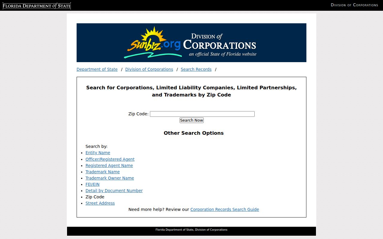
An officer or agent address is an official business contact, not proof that the person lives there. Check the filing date and use a separate source for any identity claim.
Request Fort Lauderdale ZIP Voter Data
Florida voter information can include name, address, date of birth, party affiliation, phone, email, status, precinct, districts, and participation history. Social Security, driver-license, state-ID, and registration-source data are withheld. Signatures are view-only, and protected voters remain suppressed. A ZIP extract will also omit residents who are not registered, so it cannot count all people in the zone.
The state voter extract request is the broad channel; Broward's registered-voter report is the local route.
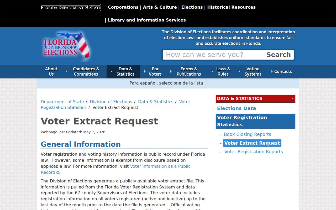
The request page reinforces that bulk data is obtained through an official process, not by trying to turn the individualized voter lookup into a ZIP browser.
The state's public voter information rules identify which fields may appear and which remain protected.
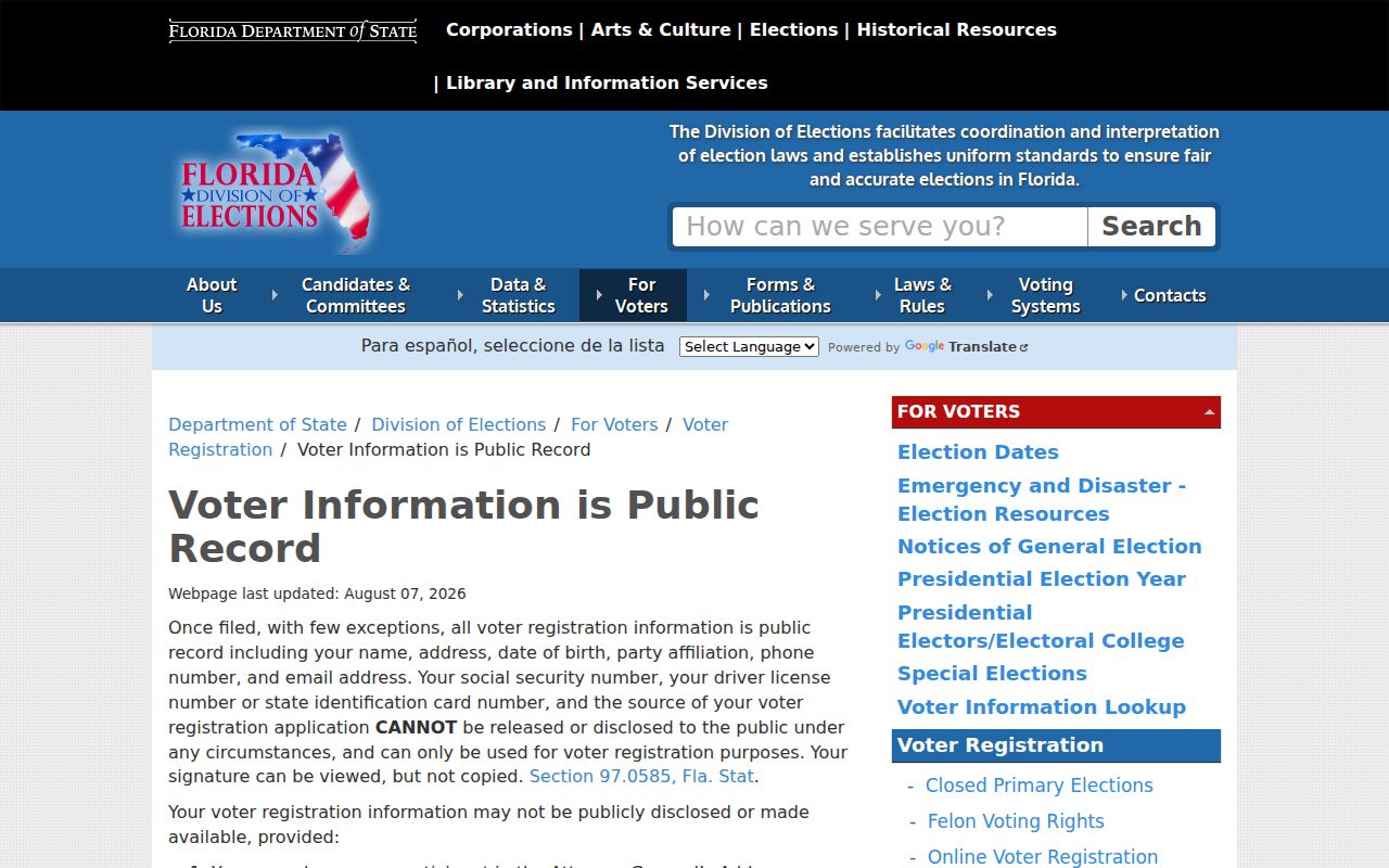
Those rules explain why a lawful ZIP extract can show public registration fields while withholding protected identifiers, signatures from copying, and confidential participant information.
Separate ZIP and Fort Lauderdale Counts
The Census Bureau estimated 188,677 Fort Lauderdale municipal residents on July 1, 2025, compared with 182,760 in the 2020 census and 165,521 in 2010. Those figures describe the incorporated city. They should not be compared directly with a ZIP population assembled from delivery zones that extend across municipal borders.
This distinction is most visible in 33308, 33317, 33319, and 33334. Adding their full populations would pull in people from neighboring cities and other county areas. The reverse can also happen when a parcel inside the city uses another preferred postal name. For civic, permit, or service questions, the boundary layer controls.
Fort Lauderdale ZIPs Versus City Limits
A ZIP code is a USPS delivery geography. It is not a city, neighborhood, voting district, or promise that homes occupy the whole polygon. Fort Lauderdale's coastal and western overlaps make this a core search rule. Confirm a full address with USPS, use the city ZIP layer to locate its delivery area, overlay the municipal boundary, and only then choose a city or county record custodian.
- ZIP vs ZIP+4
- A ZIP is a delivery area. ZIP+4 narrows mail to a smaller segment, building, floor, or group of boxes.
- PO-box ZIP
- A zone used for post-office boxes rather than a mapped set of homes.
- Unique ZIP
- A code assigned to one large organization or mail recipient, not a residential neighborhood.
- Carrier route
- The delivery path assigned to a postal carrier, which can cross local neighborhood labels.
The unique 33394 entry is a clear warning. Verify the addressee rather than mapping it as a household district. No official PO-box-only Fort Lauderdale ZIP list was confirmed in the source set, so the ZIP code directory does not invent one.
When the online map or address tool fails, request the underlying GIS data from Fort Lauderdale at gis@fortlauderdale.gov or use Broward County GIS. A public-record request is the proper fallback for city layers that are not downloadable. For postal accuracy, USPS remains the address authority. For ownership, use BCPA. For permits and code cases, send the verified parcel to the government whose boundary contains it. Keeping those roles separate prevents a shared ZIP from sending a request to the wrong office.