
Fort Lauderdale Neighbor Record Sources
A block lookup works by combining geography with records that use different labels. The map identifies adjacent parcels. The tax roll names legal owners. A requested voter report may identify registered voters at residential addresses, while the city's association layer names the civic group covering the area. None of these is a complete household directory.
| Official or local source | Block evidence | How to access it |
|---|---|---|
| Property Information Reporter | Adjacent parcels, zoning, districts, neighborhood, permits, and code context | Free visual map browse |
| BCPA map and tax roll | Current owner, situs, mailing address, folio, and property traits | Free parcel-by-parcel search |
| Registered voter report | Public registered residences, with protected fields suppressed | Request from Broward Supervisor of Elections |
| Neighbor Support directory | Recognized civic association and contact route | Free city directory and GIS layer |
| Permits and code records | Construction or enforcement events by address | City portal or public-record request |
| Historic reverse directory | Listed occupants arranged by street and house number | Main Library directory resources |
Use the narrowest accurate term for every result. A tax-roll name is an owner, not necessarily a neighbor who lives there. A voter is one registered person, not the entire household. A civic association contact represents an organization and should not be treated as a government-certified resident roster.
Map Fort Lauderdale Neighbors by Parcel
The city's Property Information Reporter is the practical starting map. Search the known address, select its parcel, and zoom until parcel outlines are clear. The public viewer did not show a verified one-click radius or buffer tool in the research. The supported public method is visual: pan and click the polygons beside, behind, and across from the subject lot.
- Enter the full address, including its NE, NW, SE, or SW direction.
- Select the subject parcel and save its folio, the parcel identifier used across Broward systems.
- Click each surrounding polygon and record only the owner and parcel facts actually shown.
- Open BCPA to confirm the owner spelling, situs, mailing address, legal description, and any exemption.
- Extend the search only as far as the defined block; use the Fort Lauderdale street directory for a whole named street.
Canals, irregular waterfront lots, condominium parcels, and streets split by the New River can make "next door" less clear than it looks. Parcel geometry is the sound boundary. A postal address alone can also point outside city limits, where another municipality holds permits and code files.
Separate Fort Lauderdale Owners and Occupants
The Broward County Property Appraiser lists a legal owner, tax mailing address, physical situs, folio, legal description, values, use, sales, improvements, and exemptions. It does not enumerate renters, children, roommates, caregivers, or other occupants. A different mailing address can have many explanations, including an entity owner or an agent. Do not choose one without another record.
Homestead is also easy to overread. It is circumstantial evidence that the owner treated the parcel as a permanent residence for the qualifying tax year. It neither proves continuous presence nor names every household member. In seasonal and condominium-heavy parts of Fort Lauderdale, owner and occupant may diverge often. The correct result is sometimes simply "owner identified; occupants not established."
Key distinction. Public property rolls describe parcels and owners; they are not a directory of every Fort Lauderdale neighbor living on the block.
Layer Fort Lauderdale Block Context
Property Reporter offers more than parcel outlines. Published layers include site address points, tax parcels, Neighborhood Associations, zoning, school, police, city and county districts, future land use, flex zones, historic districts, and historic properties. Turn layers on one at a time so the block remains readable.
These layers answer civic questions without claiming to identify residents. Zoning describes allowed land use. A historic-property flag supplies preservation context. The association layer identifies the recognized group for that geography. Permit and code views can show work or city cases attached to addresses, but the named applicant, contractor, or responsible party is not automatic proof of occupancy.
GIS data changes on different update cycles. If a layer appears stale or a feature is missing, the City GIS FAQ directs users toward the relevant public-record custodian. Save the parcel folio and screen date before making that request.
Fort Lauderdale Neighbors in Voter Data
Florida treats much voter-registration data as public under sections 97.0585 and 119.01 of the Florida Statutes. Public fields can include name, residential address, date of birth, party affiliation, phone, email, registration status, precinct, districts, and voting history. Election history shows participation, never a person's selections.
The Broward individualized lookup requires first name, last name, and date of birth. It is not meant for browsing a street. For lawful block analysis, use the Broward Supervisor of Elections data-request channel for a registered-voter report, then sort public residential addresses while preserving all suppressed rows. Social Security numbers, driver-license or state-ID numbers, registration source, and copies of signatures are not released. Address Confidentiality Program participants and qualifying exemption holders receive added protection.
A voter file cannot reveal all Fort Lauderdale neighbors. It omits people who are not registered and those whose information is protected. Inactive status is not proof that someone moved on a certain date. The Supervisor can also answer questions when a live lookup or statistics tool is unavailable.
Meet Fort Lauderdale Civic Associations
Fort Lauderdale's Neighbor Support page and the map's Neighborhood Associations layer form the authoritative current route to recognized civic groups. The city inventory spans areas such as Flagler Village, Victoria Park, Colee Hammock, Rio Vista, Harbor Beach, Sailboat Bend, Tarpon River, Dorsey-Riverbend, Sistrunk, South Middle River, Coral Ridge, Imperial Point, Lake Ridge, Progresso Village, Edgewood, and Riverland.
City Neighbor Support
Use the current association directory to confirm the official group name, contact, and meeting route.
Property Reporter Layer
Map the address against the Neighborhood Associations layer before contacting a group with a similar nearby name.
Private Associations
Ask an HOA or civic group directly about any voluntary directory. A private roster is not a public resident roll.
Recognized groups commonly publish officer names, general contacts, and meeting information. That is community infrastructure, not proof of who lives in every home. Congregation, club, and block-watch rosters are also private or opt-in unless the group has chosen to publish them.
Read Past Fort Lauderdale Neighbors
A reverse or criss-cross directory is arranged by street and house number, making it useful for a historic block. Broward Main Library has an onsite searchable city-directory database in its fifth-floor Business, Law and Government section. The Library of Congress also has a digitized Fort Lauderdale telephone-book run from 1941 through 1947.
Telephone books tend to show the subscriber, address, and phone number. A Polk-style city directory may add a spouse or occupation if the edition and its abbreviation key support those fields. Both can omit people. Compare adjacent editions, then use census schedules, deeds, or tax rolls to test whether the listed name belongs to the same parcel.
Development era shapes the best source. Early Sailboat Bend, Colee Hammock, Tarpon River, and Rio Vista blocks reward deeds, directories, and Sanborn maps. Postwar Coral Ridge and Imperial Point blocks often gain more from plats, phone books, and permits. Newer Flagler Village work is visible through parcel assemblages, condo declarations, and recent permit records.
Choose Official Fort Lauderdale Neighbor Records
Commercial neighbor tools repackage public and marketing data. They can merge people with similar names, keep old addresses, or imply that an owner lives at a parcel. Official sources are narrower but make the keeper, date, and record purpose easier to identify.
| Choice | Main strength | Main limit |
|---|---|---|
| County and city rolls | Known custodian, current parcel or filing context | Each roll covers only its official purpose |
| Association contacts | Current community and meeting route | Not a verified household list |
| Historic directories | Dated subscriber or householder evidence | Omissions and old spellings are common |
| Commercial compilations | Broad name and address aggregation | Source dates, merges, and corrections may be unclear |
Record the exact label shown by the source, along with the date searched. If two sources conflict, ask the office that keeps the original roll. A correction to a compiled profile does not change a county deed, voter record, or parcel assessment.
Protect Fort Lauderdale Neighbor Privacy
Some gaps are required by law. Florida's Address Confidentiality Program supplies eligible victims with a substitute address. Section 119.071 and related occupation-specific laws protect certain home and family information for qualifying people. Utility customer details, driver data, sealed cases, and confidential vital-record fields are not open simply because someone lives nearby.
The Florida Attorney General Sunshine Manual explains the state's public-access framework and its exemptions.
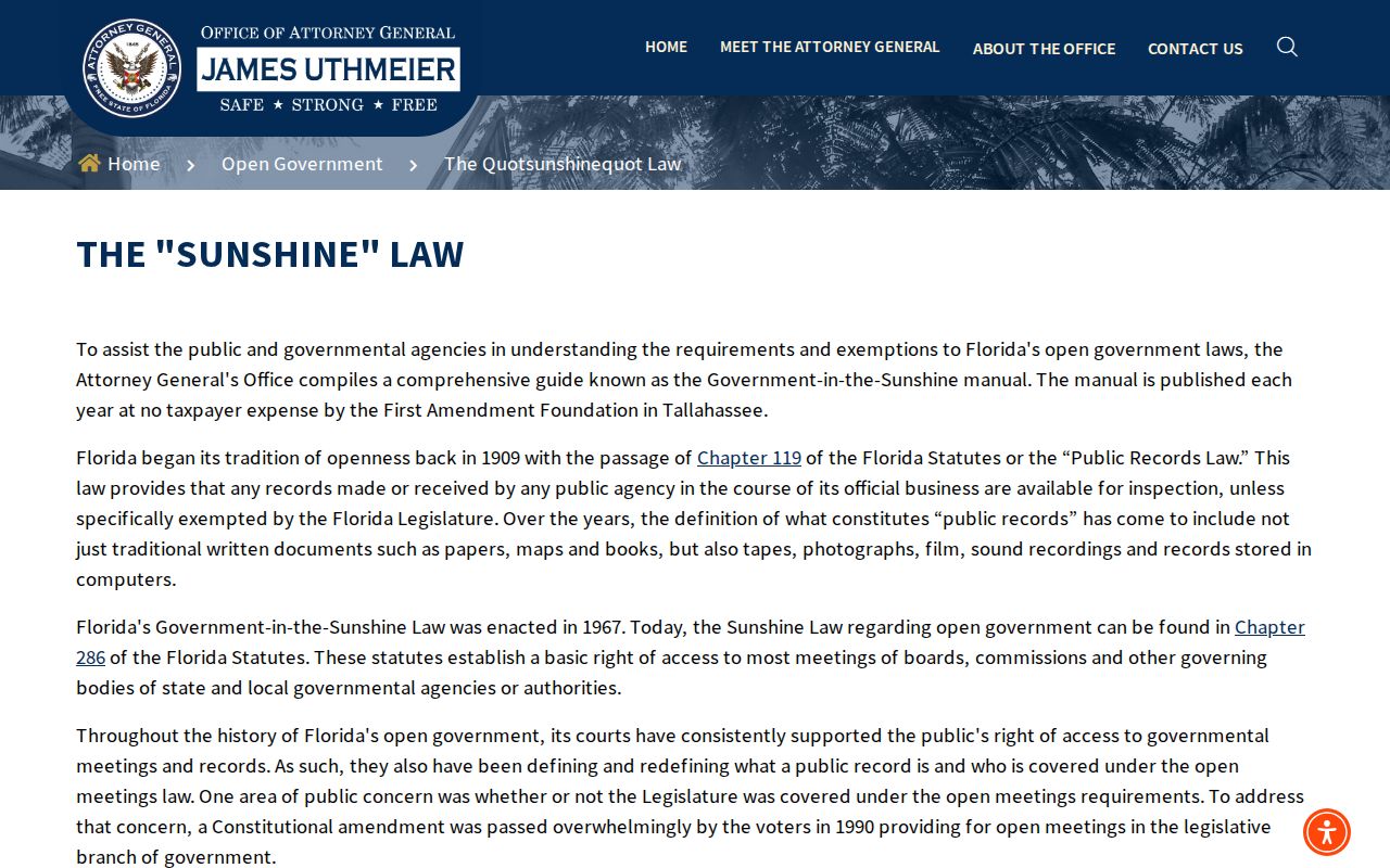
The captured state guidance helps separate an open government record from private data that no lawful Fort Lauderdale neighbor search should expose.
Florida birth certificate access rules show why vital records are not a shortcut to identifying neighbors. Birth records less than 125 years old are confidential and available only to eligible applicants under Chapter 382 of the Florida Statutes.
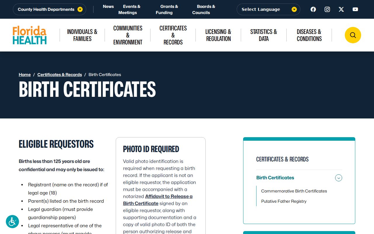
The birth-record page documents eligibility and ordering channels, not a tool for browsing Fort Lauderdale households or adding children to a block list.
The state also explains death certificate access. A certificate without cause of death may be public, while cause information remains confidential for 50 years. Either version concerns a specific deceased person and does not list current neighbors.
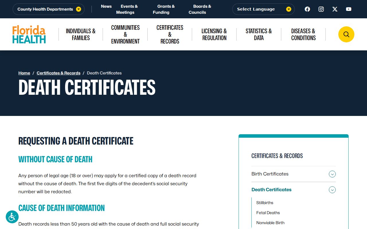
This source can corroborate a known historical identity, but it should not be turned into a present-day household inference.
Florida makes marriage certificates available through the Bureau of Vital Statistics. A marriage record establishes a reported event, not where either spouse now lives or who shares a nearby address.
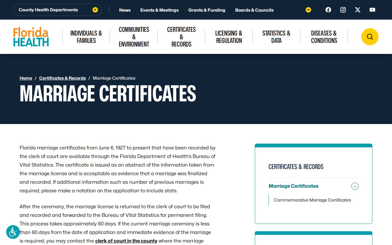
The marriage ordering page is useful only when confirming a known event; it is not a block directory and cannot supply a current resident roster.
The same limit applies to Florida divorce certificates. State dissolution reports may document the end of a marriage, but they do not prove a later Fort Lauderdale address or identify present occupants.
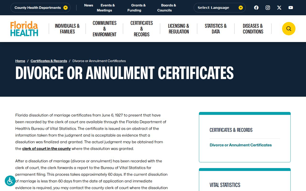
The captured divorce page therefore belongs in the privacy boundary, not in the parcel-to-neighbor workflow.
For eligible local requests, the Florida Department of Health in Broward County Vital Statistics office provides the county certificate route. Its counter applies the same state eligibility and confidentiality rules.
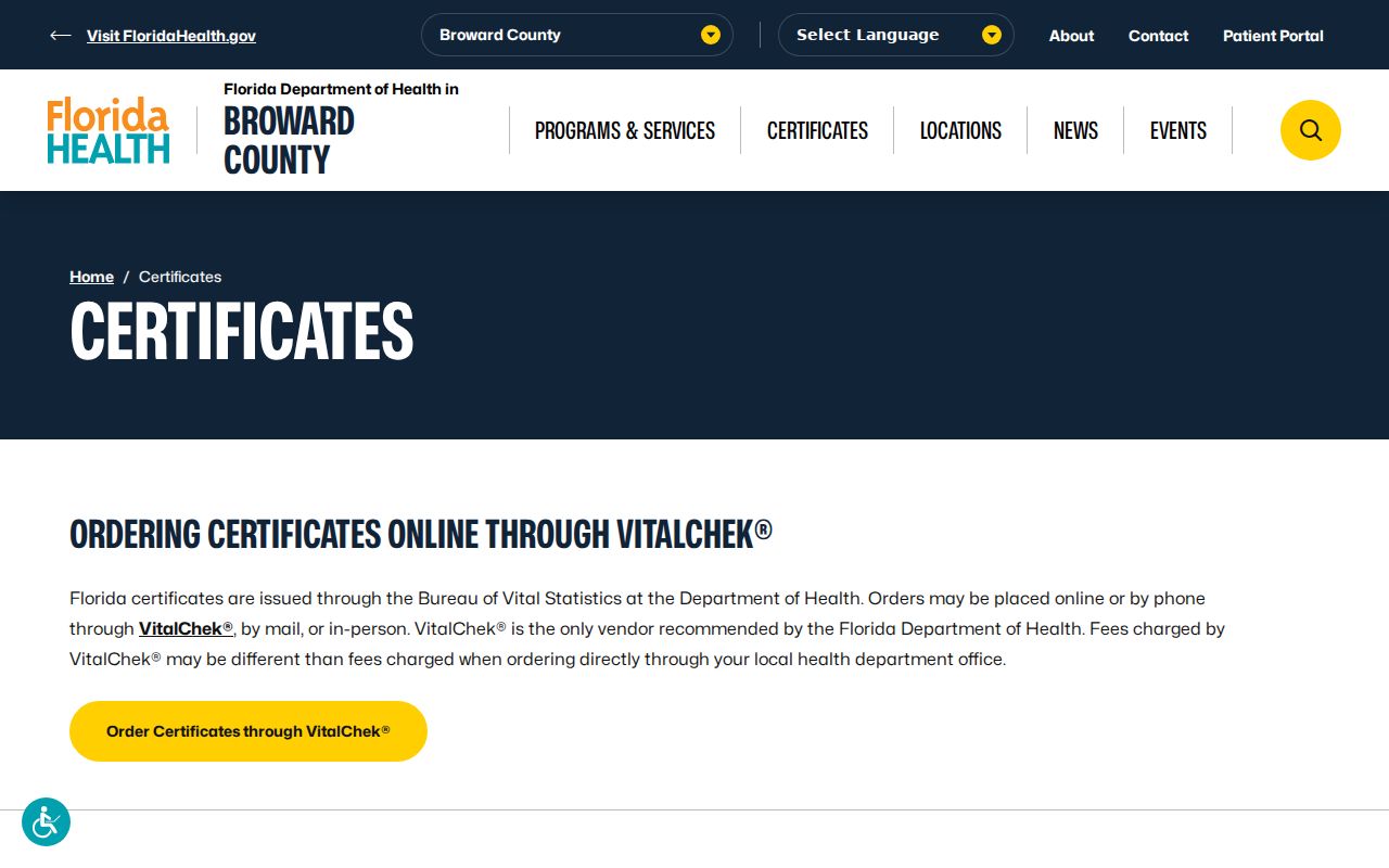
The local office image identifies an official certificate channel while reinforcing that vital records are individual event records, never a list of Fort Lauderdale neighbors.
Lawful use. Use neighbor records for civic connection, personal safety, or reconnecting, never to watch, intimidate, stalk, harass, or harm anyone.